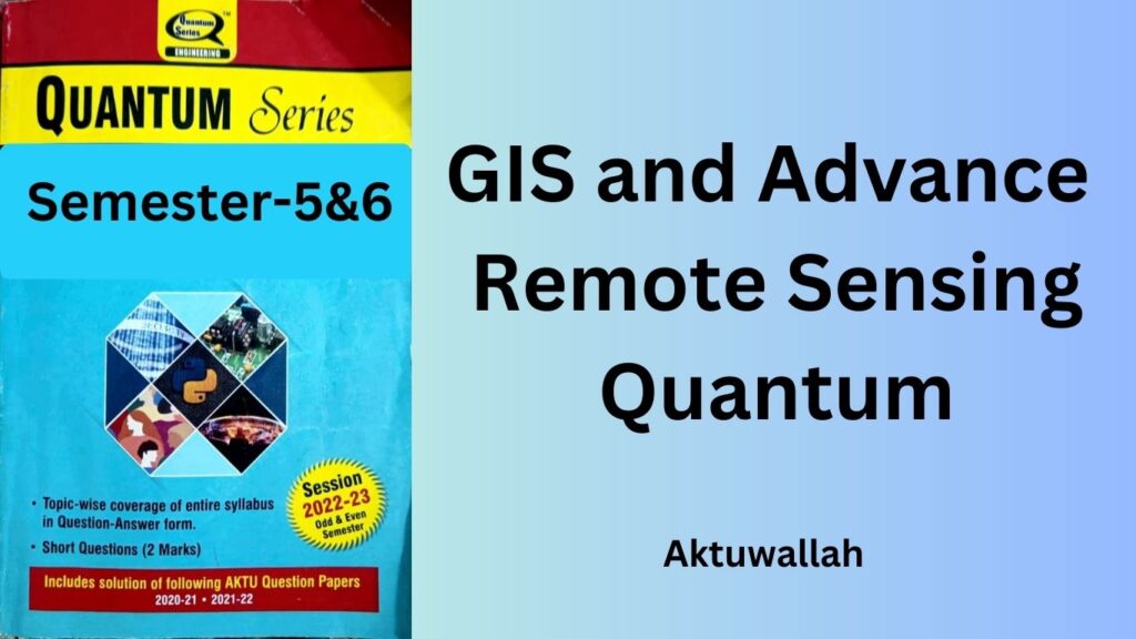
Download GIS and Advance Remote Sensing Quantum PDF For AKTU B-tech 3rd Year:
Are you an AKTU B-Tech 3rd-year student looking to delve into the realm of Geographic Information Systems (GIS) and Advanced Remote Sensing? You’re in the right place! In this article, we’ll explore the significance of GIS and Advanced Remote Sensing, and provide you with access to GIS and Advance Remote Sensing Quantum PDF. So, let’s dive in and unravel the world of geospatial technology.
How to download??
Just click on the given link to get PDF.
DOWNLOAD NOW
Download Other Civil Engg quantum pdf for Aktu B-tech 3rd year: Click Here
Download Aktu Syllabus of Civil Engg B-tech 3rd year: Click Here
Download Handwritten Notes of all subjects: Click Here
Download GIS and Advance Remote Sensing PYQs: Click Here
Table of Contents
- Introduction to GIS and Advance Remote Sensing Quantum PDF
- Understanding Geographic Information Systems (GIS)
- Advancing Remote Sensing Techniques
- Key Topics Covered in the GIS and Advance Remote Sensing Quantum PDF
- Benefits of Incorporating GIS and Remote Sensing
- Real-World Applications
- Future Trends in Geospatial Technology
- Challenges in Implementing GIS and Remote Sensing
- How to Make the Most of the Quantum PDF
Introduction to GIS and Advance Remote Sensing Quantum PDF
Geospatial technology has revolutionized the way we perceive and interact with the world around us. Geographic Information Systems, commonly known as GIS, and Advanced Remote Sensing play a pivotal role in this transformation. These technologies allow us to capture, analyze, and interpret spatial data, enabling informed decision-making across various sectors.
Understanding Geographic Information Systems (GIS)
GIS is a powerful tool that combines geographical data with cutting-edge software, offering a visual representation of data patterns and relationships. It facilitates mapping, analysis, and modeling of real-world phenomena, aiding urban planning, environmental management, disaster response, and more.
Advancing Remote Sensing Techniques
Advanced Remote Sensing takes us beyond traditional data collection methods. It involves the use of satellites, sensors, and drones to capture high-resolution images of the Earth’s surface. This technology enables us to monitor changes over time, study land use, track deforestation, and even assess the health of crops from a distance.
Key Topics Covered in the GIS and Advance Remote Sensing Quantum PDF
The Quantum PDF designed for AKTU B-Tech 3rd-year students encompasses a range of key topics, including:
1. Basics of GIS and Remote Sensing
2. Geospatial Data Collection Methods
3. Spatial Data Analysis and Visualization
4. Remote Sensing Platforms and Sensors
5. Image Processing Techniques
6. Land Cover Classification
7. GIS in Urban Planning and Management
8. Environmental Impact Assessment
9. Applications in Agriculture and Forestry
10. Disaster Management with GIS
11. Future Trends in Geospatial Technology
Benefits of Incorporating GIS and Remote Sensing
The integration of GIS and Remote Sensing brings forth a multitude of benefits. It empowers decision-makers with accurate information for effective planning. It aids in resource optimization, risk assessment, and spatial analysis, leading to informed choices that have a positive impact on society and the environment.
Real-World Applications
The real-world applications of GIS and Advanced Remote Sensing are vast. From tracking the movement of wildlife to predicting the spread of diseases, these technologies contribute to scientific research, conservation efforts, and disaster response on a global scale.
Future Trends in Geospatial Technology
As technology advances, so does geospatial technology. We can anticipate developments such as enhanced data accuracy, improved satellite imaging, and integration with artificial intelligence. These advancements will further amplify the capabilities of GIS and Remote Sensing.
Challenges in Implementing GIS and Remote Sensing
While GIS and Remote Sensing offer incredible potential, their implementation isn’t without challenges. Data privacy concerns, technical limitations, and the need for specialized training are some hurdles that need to be addressed.
How to Make the Most of the Quantum PDF
To fully benefit from the Quantum PDF, approach it with a curious mind. Engage in hands-on practice with GIS software and explore real-world case studies. Collaborate with peers and educators to gain diverse insights, and stay updated with the latest trends in geospatial technology.
Conclusion
GIS and Advance Remote Sensing Quantum PDF are not just technological advancements book; they are windows to a better, more sustainable future. By harnessing the power of spatial data, we can tackle global challenges, make informed decisions, and pave the way for a smarter world.
1 thought on “GIS and Advance Remote Sensing Quantum PDF”